Top 5 Hiking Trails in Southern California
- San Jacinto Peak
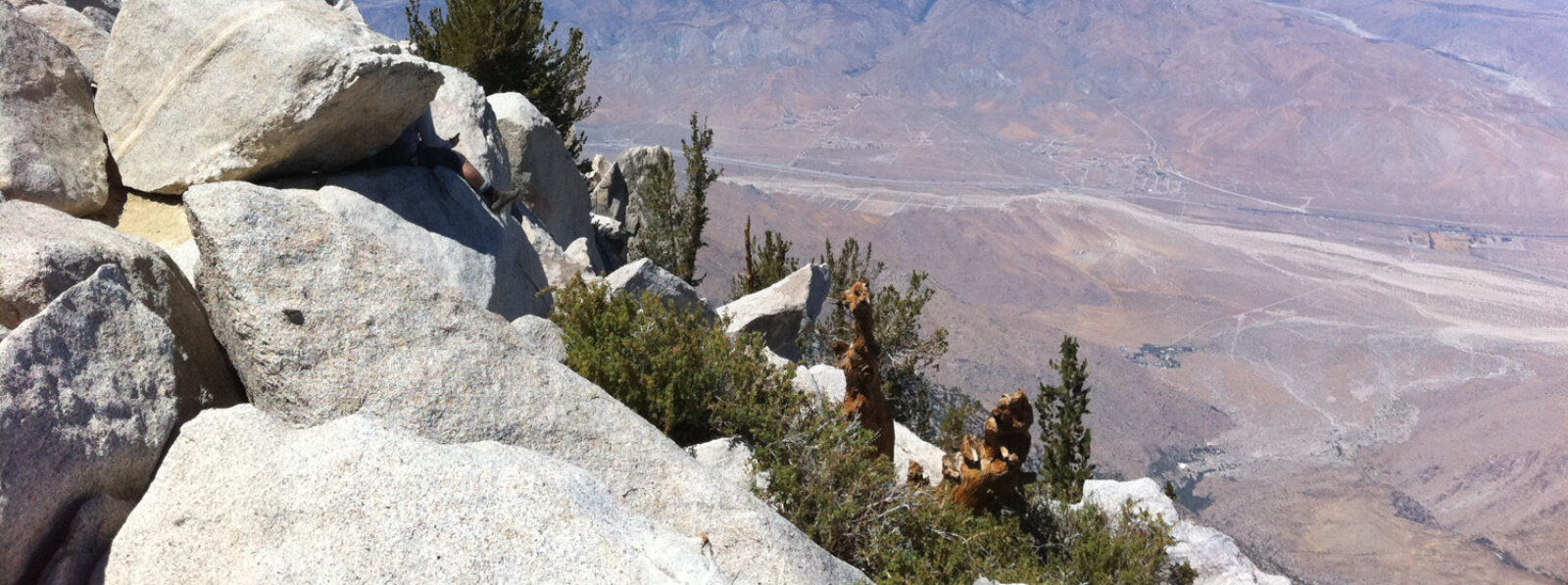
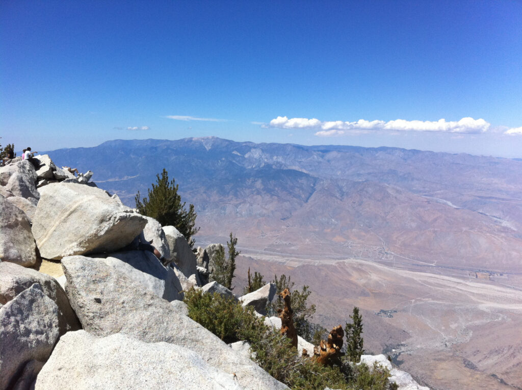
Mount San Jacinto is one of Southern California’s highest mountains, standing at 10,834 feet east of Los Angeles near Palm Springs. The state park surrounding San Jacinto has a variety of paths to explore, and a ride on the Palm Springs Aerial Tramway is one of the most popular ways for visitors wishing to trek to the summit. The most popular summit trail from the mountain station’s Upper Terminal is the Round Valley Trail, which brings hikers within 2,400 feet of the summit.
The challenging Cactus to Clouds Trail, also known as the Skyline Ridge Route, stretches 14 miles from the desert floor to the mountain’s summit, making it an extremely difficult climb. Only experienced and prepared hikers should attempt the Cactus to Clouds Trail, one of Southern California’s more difficult hikes.
- Skull Rock
The hike to Skull Rock begins at Jumbo Rocks Campground in Joshua Tree National Park, one of Southern California’s most beautiful campgrounds. It transports visitors to a desert with scattering stones. Explanatory signs describe the varied plants along the road to Skull Rock, which is flanked by desert flowers and cactus. While the Skull Rock formation makes for a great photo op, the 1.7-mile round around the campsite is all about the journey.
If the time and the heat of the day permit, hike the Split Rock Trail from Skull Rock to find more eye-catching boulder formations. Other hiking trails, such as routes to spring-fed oases, Hidden Valleys, and other high peaks like Ryan Mountain, can be found throughout Joshua Tree National Park for weeks or months. If you want to spend the night near Skull Rock during the peak seasons of fall and spring, make a reservation at the Jumbo Rocks Campground.
- Salt Creek
In Death Valley, the Salt Creek Interpretive Trail is a great site to start your tour of one of the world’s hottest and driest areas. It takes you on a journey across the national park’s limited water sources. Between November and May, when the high-salinity creek is at its most raging, is the greatest time to come. A half-mile boardwalk winds its way along Salt Creek, bringing life to an otherwise barren landscape by allowing visitors to witness native animals such as Salt Creek pupfish.
The Salt Creek Interpretive Trail barely scrapes the surface of Death Valley National Park, the country’s largest national park. The world-famous Mesquite Sand Dunes, near Salt Creek, rise to a mountain-like height, and the more challenging, nine-mile Mosaic Canyon trailhead is also nearby. The park’s Badwater Basin, located farther north, gives access to the country’s lowest point, which is 282 feet below sea level.
- Smugglers Cove
Hikers must travel by boat or seaplane to reach Channel Islands National Park, a collection of five islands off the coast of Southern California. The Scorpion Ranch Campground and the strenuous hiking paths that span the island make Santa Cruz Island the most popular island for visitors. Due to the lack of water and resources on the Channel Islands, visitors should expect to spend the majority of their time outdoors.
- Barker Dam
Barker Dam, which is a mile-and-a-half circular trek, is one of the more accessible hikes on the list. On the other hand, the hike’s beauty is not to be missed. There are hundreds of boulders to climb, a dry stream bed to explore, historic cattle rancher history to learn about, and even Indian petroglyphs near the trail’s finish. This has to be one of my favorites in a park with so many things to see and do.